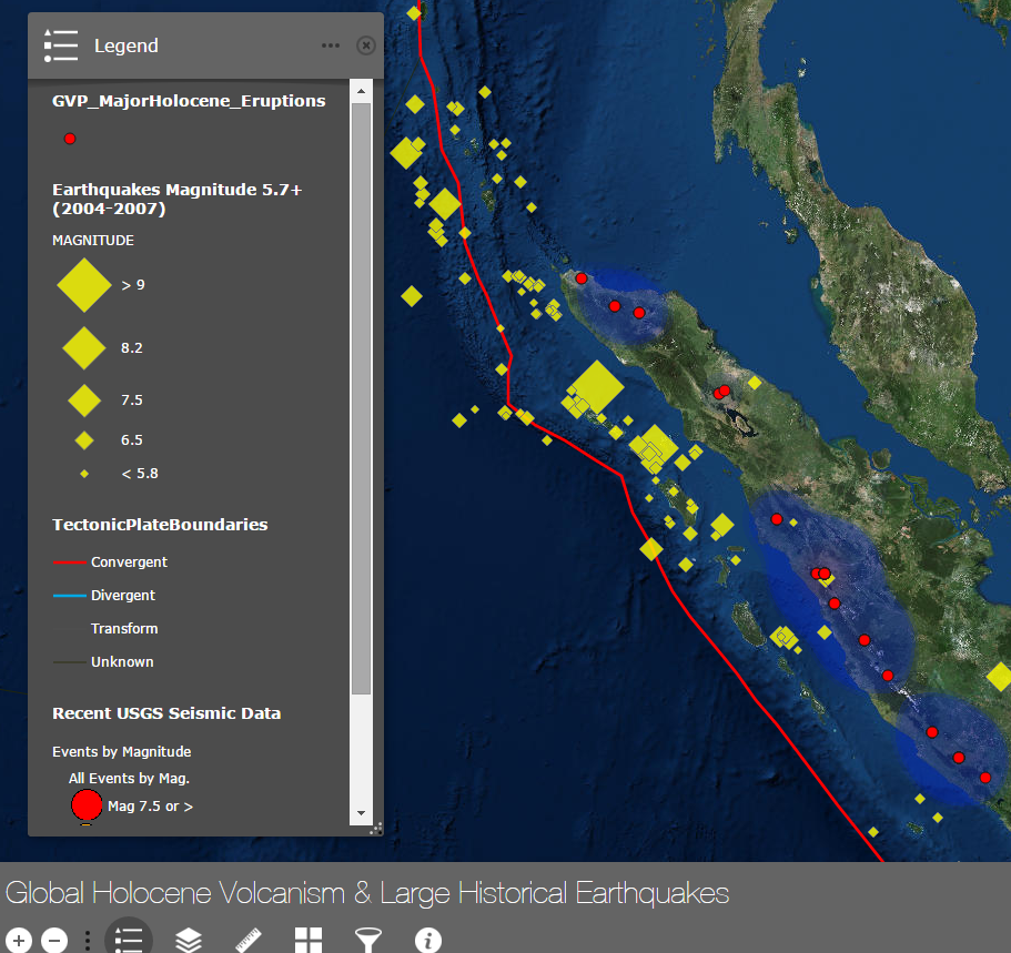
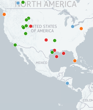
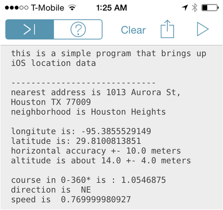
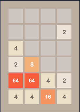
Screenshot of Map App on Holocene Volcanoes and Historic Earthquakes

ArcGIS Hackathon-ish

ESRI sponsored Geo-Development Hackathon: Today I took part in an event put on by ESRI, the company that provides the software on which the majority of enterprise,  academic, and government GIS work takes place. As compared to the Geophysics Hackathon run by AgileGeosciences at the Society of Exploration Geophysics Annual Conference, this Read more…

zoomed in screenshot of map of places Justin Gosses has done geology.

CartoDB & Online Mapping

Online Mapping: Recently, I’ve been improving my skills in both GIS, web development, and programming. As such, exploring online mapping services and methods, like leaflet, Mapbox and CartoDB, was on the “to do” list. Both CartoDB and Mapbox are sites that allow you to build maps on their webpage and then embed Read more…